Posts

Showing posts from October, 2018

SUR: Surinam Airways PY421 (Economy)
Image
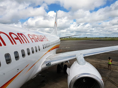
PBM-GEO (45m) Boeing 737-700 ETD: 10.30am (GMT - 3)  ETA: 10.15 am (GMT - 4) My BFF and I were thankful that Surinam Airways' scheduled flight from Paramaribo, Suriname to Miami, the USA via Georgetown, Guyana proceeded as scheduled. Frankly speaking, both of us were afraid that the airline would cancel the flight again after experiencing such an issue earlier during our trip.
SUR: Johan Adolf Pengel International Airport

Image
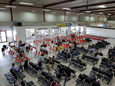
Luchthavenlaan 1, Zanderij, Suriname Johan Adolf Pengel International Airport is located approximately 45 km south of Paramaribo, the capital city of Suriname. Serving as the hub for Surinam airways, it's the bigger of the two international airports in the country, the other being Zorg en Hoop Airport.

SUR: Sunset and Dolphins Trip (Part 2)

Image
Johan & Margaretha, Suriname As mentioned in the previous post , one of the activities that my BFF and I experienced during the boat trip organised by Orange Travel was exploring a small, peaceful coastal village. It's home to a few hundreds of citizens, most of whom are of Javanese and East Indian origin.

SUR: Sunset and Dolphins Trip (Part 1)

Image
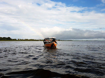
Paramaribo, Suriname Orange Travel is a highly reliable tour and travel company based in Paramaribo. Prior to our arrival, my BFF and I'd engaged them to book a spot for a popular 3-hour trip that'd bring us across Suriname River and Commewijne River in the northern part of the capital city.

SUR: Paramaribo Residential Areas

Image
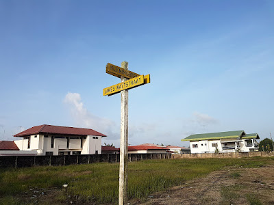
Paramaribo, Suriname I shall begin with a confession that I'd been scratching my head trying to think of an appropriate title for this post. On one of the days in Paramaribo, my BFF and I embarked on a side quest to walk a long distance through the residential areas northeast of the centre of the capital city in order to reach a particular street.

SUR: Paramaribo Downtown

Image
Paramaribo, Suriname Today's post focuses on the historic inner city of Paramaribo, which has been included in the list of UNESCO World Heritage Sites since 2002. The name of the capital city comes from two Tupian words put together: para (lit. large river) and maribo (lit. inhabitants).

SUR: Paramaribo Waterkant

Image
Waterside Straat, Paramaribo, Suriname The riverside promenade in the capital city of Suriname may not offer much compared to others I've been elsewhere, but it's still worth passing by nonetheless. In addition to offering a view of Suriname River, it has got a few monuments erected there.

SUR: Fort Zeelandia

Image
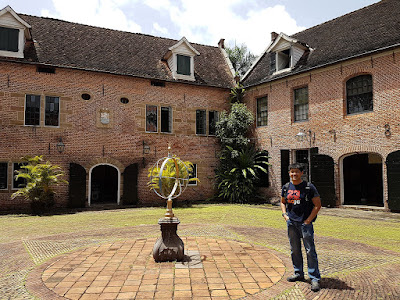
Waterside Straat, Paramaribo, Suriname Tue-Fri: 9.00am - 2.00pm Sun: 10.00am - 2.00pm Located on the bank of Suriname River, the pentagonal fort of Paramaribo was originally built by the French in 1640 as a wooden structure. It was overtaken by the British who called it Fort Willoughby in 1650 before the Dutch conquered Paramaribo in 1667, subsequently renaming it to Fort Zeelandia.

SUR: St. Peter and Paul Cathedral

Image
Henck Arron Straat 22-24, Paramaribo, Suriname Mon-Fri: 6.00am - 1.30pm Sat: 8.00am - 1.00pm Sun: 8.30am - 12 noon St. Peter and Paul Cathedral is one of the most recognisable landmarks of the capital city of Suriname, being the largest wooden structure in the Western Hemisphere. Construction of the cathedral began in 1882. It was consecrated three years later, but the towers weren't completed until 1901.

SUR: Eco Resort Inn

Image
Cornelis Jongbaw Straat 16, Paramaribo, Suriname Owned by Torarica Group of Hotels, Eco Resort Inn (3*) was formerly a townhouse that has been transformed into an accommodation that allows everyone to "have a taste of nature". With a total of 122 guest rooms, it's within a short walk from the historic centre of Paramaribo.

SUR: Fly Allways 8W 602 (Economy)

Image
CUR-PBM (2h 50m) Fokker 70 ETD: 4.30pm (GMT - 4)  ETA: 8.20 pm (GMT - 3) Fly Allways is a young Surinamese airline that has been in operation since 2016. I'd never heard of the name until Surinam Airways decided to cancel my flight from Willemstad, Curaçao to Paramaribo, Suriname via Oranjestad, Aruba. Faced with the situation, I had to find another way to fly to the capital city of Suriname.

CUR: Hato International Airport

Image
Plasa Margaret Abraham, Curaçao Hato International Airport is located on the north coast of Curaçao, roughly about 12 km from Willemstad. The name is taken from that of a nearby town. Serving as the main base for Insel Air and Divi Divi Air, it has got the third longest commercial runway in the Caribbean.

CUR: Curaçao Sea Aquarium

Image
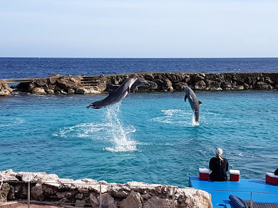
Bapor Kibra, Curaçao Daily: 8.00am - 5.00pm The vision of a marine scientist that goes by the name Adriaan Schrier led to the opening of Curaçao Sea Aquarium in 1984. Located next to the sea, it employs the use of a simple, yet friendly technology to continuously pump fresh seawater into all its tanks and lagoons.

CUR: Mambo Beach

Image
Bapor Kibra, Curaçao After a morning of fun at Curaçao Ostrich Farm and getting our stomachs filled there, my BFF and I were heading to Curaçao Sea Aquarium that's in the vicinity of Mambo Beach. Possibly the most famous beach in the island, Mambo Beach is definitely a nice place to bask in the warmth of the sun.

CUR: Curaçao Ostrich Farm

Image
Road to Groot St. Joris, Curaçao Daily: 9.00am - 4.30pm Have you seen ostriches in real life? My BFF and I finally had the chance to at Curaçao Ostrich Farm, which is known to be one of the biggest outside Africa. The farm, which first opened its doors to the public in 1995, is located near St. Joris Bay in the far eastern part of the island.

Popular Posts

COL: Avianca VIP Lounge @ El Dorado International Airport

COL: El Dorado International Airport

AZE: Quba and Khinaliq Tour (Part 1)